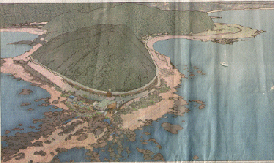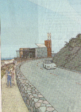

This architect's drawing shows
Te Raekaihau Point and the proposed site.
The Marauni site can be seen top right.
The trolley bus terminus is three houses beyond the flat green area of Maranui.
Lyall Bay can be seen beyond that.

This drawing is a view from the
road.
Neither drawing give any realistic idea of the impact of cars.

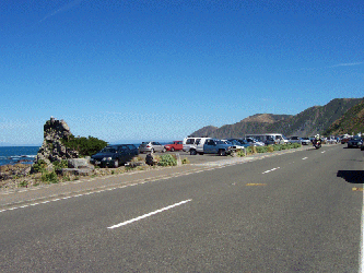
This photo attempts to
illustrate the wall of cars cluttering
the coastal skyline on the same coast road past Island Bay.
It is generated by a small cafe called The Bach.

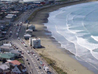
Recently a permit was granted
for coffee bar in the white surf club building.
This mid morning photo shows how this small business has
generated at least a five fold increase in cars.
This site is served by the trolley bus system.
Note the lack of people on the beach
The photo also shows how human
structures destroy the beach.
Note the lack of sanddunes by the buildings. The WCC annually spends thousands
of dollars destroying them as fast as they are created by the surf action.
As a result, the beach is reduced to rocks and gravel in that area.
Return to Marine Education Centre Analysis